
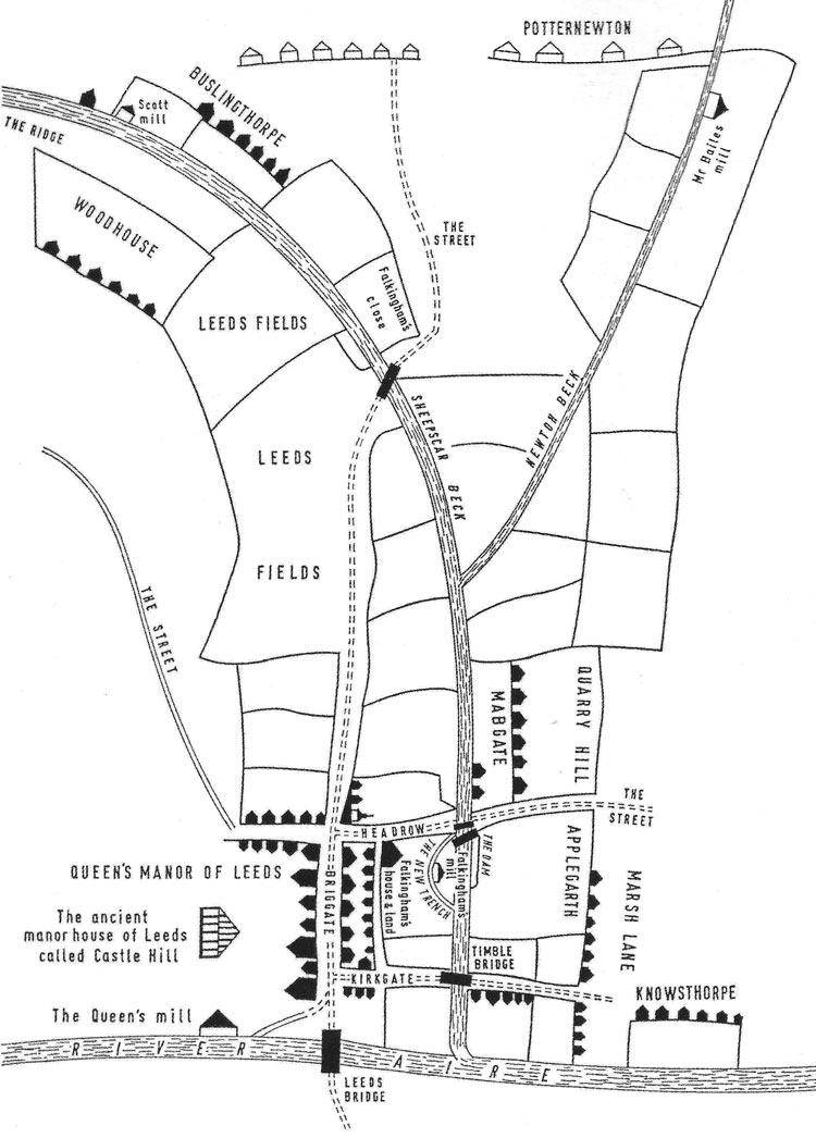
This is a reproduction of the first ever map of Leeds drawn c.1560. It came about as a result of a court case when Thomas Lyndeley, the franchisee of the Queen’s Mill, sued Thomas Falkingham for building a mill at what became known as Millgarth. The judge ordered that a map be drawn to demonstrate the proximity of the mills to each other. The case dragged on for twenty years before Lyndeley was ordered to demolish his building.