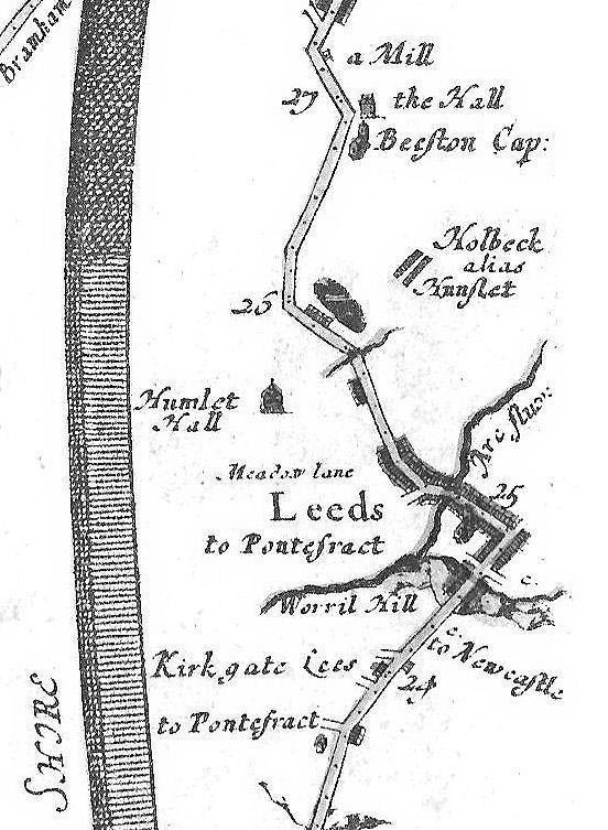
Ogilby’s Strip Map of 1675

John Ogilby’s The Continuation of the Road from York to West Chester published in 1675 was taken from his Britannia, and was the first national road-atlas of any country in Western Europe. It represented the road as a continuous unfolding strip. Intriguingly it shows Hunslet Hall and Meadow Lane, but ‘Holbeck alias Hunslet’.

Why not visit our Library?

Over more than a century, the Society has built up a number of special collections, notably its archive, map and image collections, which have recently been re-catalogued to make them more accessible. These collections are housed in the Society’s library, based at the Leeds Library, 18 Commercial Street, Leeds LS1 6AL.

No products in the basket.